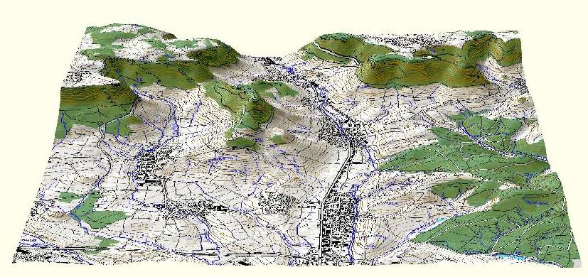
Digital terrain model overlapped by the content of a topographic map (source: Surveying office Baden-Wuerttemberg)
Adrijana Car* and Damir Medak**
*Carinthia Tech Institute School of Geoinformation, Villach, Austria
**Faculty of Geodesy, University of Zagreb, Croatia
This contribution introduces the term GeoInformation Science as a new paradigm for GIS to the geodesists' community. The development of GIS is presented by a critical review of its former definitions. The authors carefully point out the shift from the technology to the science, emphasizing the inevitable connection to the various surveying techniques.
The impact of the GIS technology is described at three levels with the parties involved: the individual, the system, and the society. The consequence is that the study of certain social disciplines like cognitive science, psychology, linguistics, economics and politics broadens the scientific perspective of surveying engineers. This hypothesis is enforced by enumerating a number of hot topics in GIS research as perceived by leading scientific and business organisations. Recent efforts in the standardization of geoinformation undertaken by ISO TC/211 are used as an example.

Digital terrain model overlapped by the content of a topographic map (source: Surveying office Baden-Wuerttemberg)